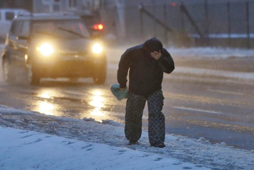
A typical Maritime storm of snow, freezing rain and rain will land in Nova Scotia on Sunday morning.
“Sunday is going to be a mess,” said Cindy Day, the chief meteorologist of SaltWire Network.
The province’s southwest corner will see snow Sunday at about 2 or 3 a.m.
“The snow will just be starting at sunrise in and around the Halifax area,” she said.
“There will be lots of wind as well,” said Day. “Generally from the east to northeast, gusting to 80 kilometres per hour as the precipitation moves in early Sunday.”
Colchester and Cumberland counties will see the most snow, but don’t expect it to stick, she said.
“By the noon hour there’s already some mixing, so not a great deal of snow in terms of snowfall accumulation expected initially.”
The ice pellets and freezing rain will turn to rain by 6 a.m. as temperatures rise across the province.
“It’s quite a rain event for mainland Nova Scotia,” said Day.
“There could be some localized flooding certainly, with as much as 60 to 70 millimetres of rain,” she said.
The rain is to continue overnight Monday.
Temperatures will reach as high as eight Celsius on Monday morning.
“As the day goes on on Monday, temperatures fall back, the wind takes a turn to the northwest and we go back to snow,” said Day, noting it’ll dip down below freezing later in the day.
Nova Scotia will see snowfall totals of five to 15 centimetres from Sunday to Tuesday across the province.
As the storm pushes out, conditions will improve but temperatures will remain low, said Day.
Outage crews on duty
Nova Scotia Power is to activate its emergency operations centre at 10 A.M. on Sunday in preparation of the storm.
The centre provides “centralized co-ordination for outage restoration planning and response.”
“There is a lot of variability in the forecasts, so we continue to monitor weather predictions and plan for contingencies,” Matt Drover, a storm lead at the power company, said in a news release.
Powerline and forestry crews will be stationed across the province, said the storm lead.
“We will be prepared for whatever this storm brings us,” said Drover.
Halifax Regional Municipality operations “are preparing to respond to all possible elements,” said the city’s website on Friday afternoon.
“Crews have cleared all catch basins of snow, ice and debris in and around flood prone areas and additional resources will be on standby to address any flooding that may arise,” said the clearing operations update.
Crews are aiming to have snow and slush removed before temperatures drop below freezing.
As the storm moves past the province, Nova Scotia isn’t out of the woods yet.
“Another sloppy system is coming our way Thursday morning,” said Day.


